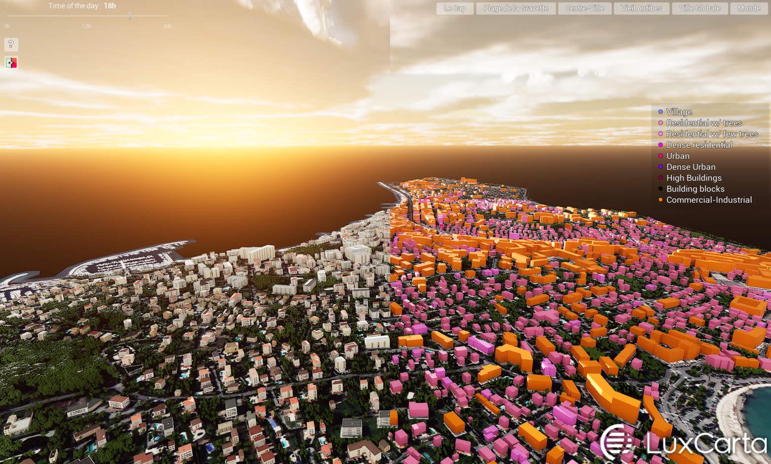
Discover the Utility of BrightEarth Augmented- Unreal Engine Demo Available Now!
Take Control: Explore an AI-enhanced 3D Model of Antibes, France
Navigate using Unreal Engine in data automatically generated by BrightEarth in its augmented form - with photorealistic building facades. Discover how procedural texturing and geometric augmentation automatically enhance the GIS data produced by our extractors.
Unlock Your Potential with Powerful AI-enhanced Mapping Software
Explore applications across industries:
- Architecture and urban planning: plan and visualize buildings and infrastructure projects with reliable 3D data, including elevation, building footprints and volumes, and even the impact of shadows and vegetation.
- Military strategy and operations : enhance operational and training strategies with fast, detailed 3D map generation that, enables precise planning anywhere on Earth
- Telecom and network planning: rely on detailed and accurate terrain and building data - including 3D models, positions, heights, and building materials - to tailor your network development to your specific needs.
Download our Free Viewer
Please fill this form to download your Free Unreal Engine executable

Versatile solutions for any business needing up-to-date and reliable map data!
Download for free and dive into an Unreal Engine environment with a precise 3D reconstitution of Antibes, France, built with BrightEarth technology. See for yourself how our software can transform your mapping capabilities.
Important: This demo executable is currently available for Windows users ONLY.